Lake Guntersville State Park
 |
 |
 |
 |
Intro:
Lake Guntersville State Park is located in the town of Guntersville, Alabama. The park is alongside the scenic Lake Guntersville which is a part of the Tennessee River. LGSP offers 36 miles of hiking trails. It's definitely worth a trip there.
Trail Head:
There are several trail heads. You can purchase a map at the lodge and it will have them listed
To access the trail head: All of them are located on park property.
Difficulty:
I rate this a medium only because some parts are easy and some are more difficult. Some of the trails have some steep hills and will take a lot out of you.
Hiking the Trail:
A good hike here is to start at the Golf Course trail located on the west side of the golf course parking lot.
You can follow this trail until you reach the Meredith trail. From the Meredith trail you will walk a good ways until you reach
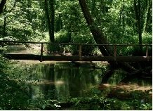
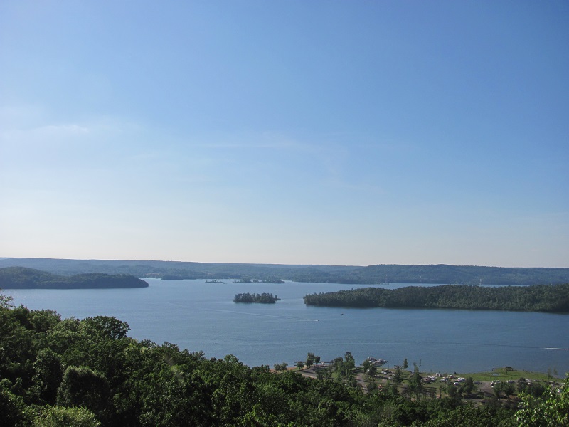
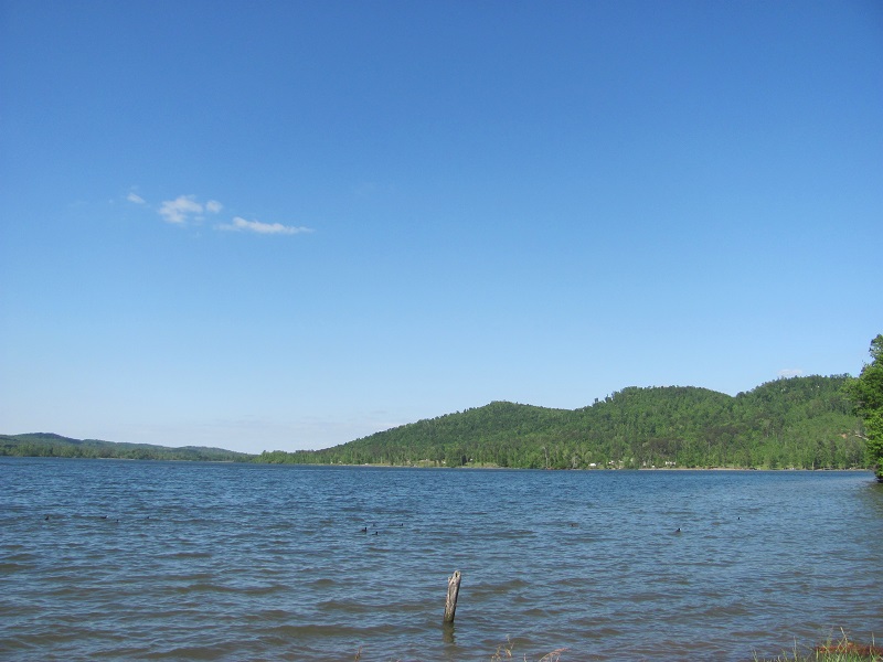
the Seals trail. The Seals trail is very scenic since it takes you alongside Lake Guntersville. The Seals trail will end at the
LGSP camp ground. There are a few options from here. Continue up the road and connect with other trails, or take
the same trails back to where you started. Keep in mind there are 36 miles of trails and I only covered about 4 or 5 miles worth.
The loop I took is a great loop for a day hike and will give you some scenic views of Lake Guntersville.
Another great loop is to start at the Kings Chapel Trail head parking area. Take the kings Chapel trail until you reach the Kings Chapel Cemetery.
You'll end up at an old cemetery. When you reach the cemetery just keep to the right. The trail will then meet a service road. Take a left on the service
road and walk a short distance until you see a sign on the right pointing you back to the hiking trail. This will connect you to the Tom Bevill and Cave trails. Just
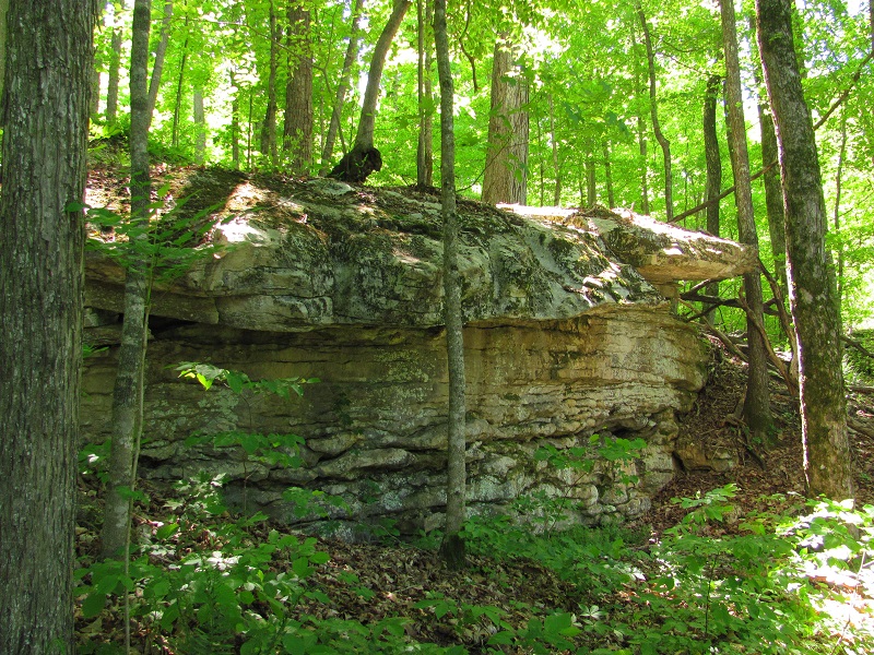
take the Cave trail from here. Eventually you will meet a paved road. Cross the road and enter back onto the hiking trail. Take the trail to the right. This will
eventually take you around to the cave (more a like a gorge). From here you will continue on until the trail intersects.
Take a right where it intersects. From here you will end up at another paved road. Take a left up the paved road a short distance and you
will see a hiking trail to your right. You will end up on a trail that goes left and right, take the trail to your right. This is the Moonshine trail. It will take you back to the parking area where you started.
Scenery:
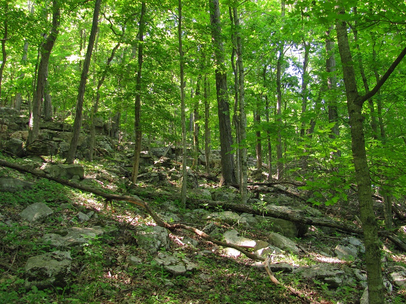
You will get great views of Lake Guntersville and other natural areas.
Trail Maintenance:
They are mostly well maintained. I did encounter a few areas where it was bit grown up, but with that many miles of trails to maintain it is easy to understand.
Facilities:
LGSP has some great facilities. The lodge being the main one. At the lodge you have restrooms, a souvenir shop, RV and primitive camp grounds, and an excellent restaurant. I suggest after a long hike you take advantage of the lodges restaurant. The food is great! I also encourage you to visit the Guntersville Dam. It's really cool to see and the kiosk there has some great information about the history of the dam and how the TVA dam systems have affected our area. TVA also has a trail on the south side of the dam called the TVA Cave Mountain trail you should check out.