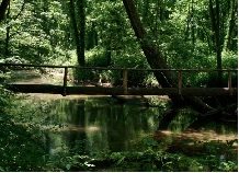
Monte Sano Land Trust Trails
 |
 |
 |
 |
Intro:
The Monte Sano Land Trust trails are owned by the Land Trust of North Alabama. It has several miles of hiking trails that will take you through the beautiful Monte Sano Mountains.
Trail Head:
The trail head is located just off Bankhead Parkway. The south trail head is located on Monte Sano Blvd.
To access the trail head: The trail head is right there at the parking lot, you can't
miss it!
Difficulty:
The trails can be a little physically demanding. On this hike, The waterline trail is difficult to navigate and will require using your hands to get down.
Hiking the Trail:
It's been a couple years since I've hiked this one, but I do remember a good bit of it. This hike will take you through a nice, scenic
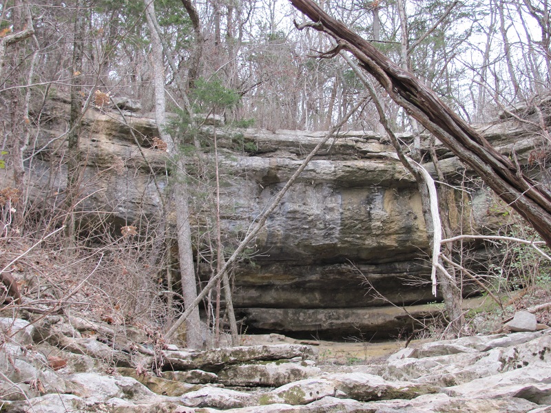
trail that will eventually lead you to the "three caves" which were caves they used to mine back in the day. So here is the way I hiked
it. Starting at the Bluff line trail you will hike it for a good bit. I'm having trouble recalling all the terrain, but I don't recall it
being that bad. Continue on the bluff line trail until you hit the water line trail. The reason I suggest the water line trail is because it
is challenging, fun, and will take you straight to the three caves (warning: You are NOT allowed to go down to the caves!!).
After viewing the three caves for a while you can take the Alms House trail back to the parking area (or near the parking area, but I believe it takes you right to it).
Additional Note: There are several summer events and concerts located at the Three Caves. Visit the Land Trust of North Alabama website at
www.LandTrustNAL.org and click the "Events" tab to find out times and dates of the events.
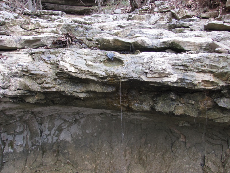
South Trail Head: The south trail head has access to the Nature Well trail, Trough Spring trail, and others. I hiked the Trough Spring trail
since it has a bit of historical significance to the area. This a good trail for local people who are history buffs and also like good scenery. It's a short hike. The trail to
Trough spring will then connect you to the Bushwacker Johnston Trail. The hike out to the spring is just over 1 mile from the south trail head. So a there and back hike would be
a little over 2 miles. The trough spring location is historically significant to the area. The spring was in a location where people would cross as they went over Monte Sano.
They would use this as a spot to water their horses prior to crossing. It is also the location where the 25th Alabama Calvary Battalion, lead by Col. Milus "Bushwacker" Johnston,
surrendered to the Union army in May of 1865 after the end of the Civil War.
Scenery:
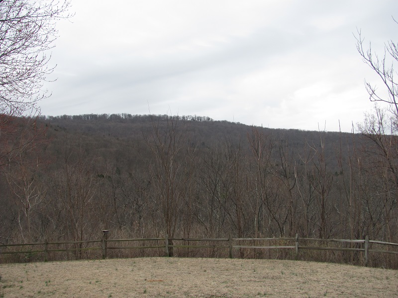
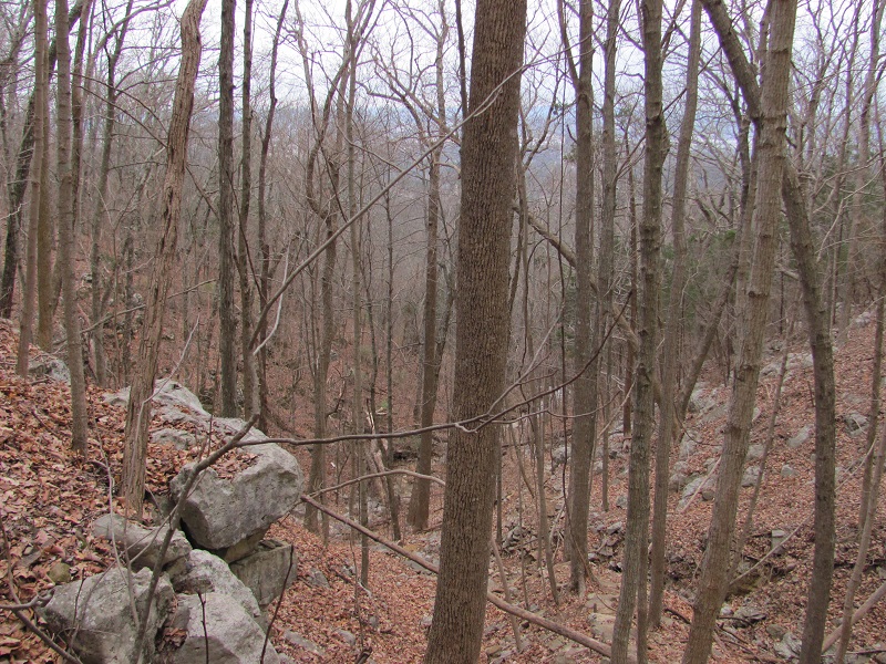
You will get great views from the mountain top, great views of Monte Sano, and see the "three caves".
Trail Maintenance:
The trail is well maintained
Facilities:
Honestly I don't remember what facilities are there.

